









What is drone photography in real estate?
Drone photography in real estate involves using unmanned aerial vehicles (UAVs) to capture high-resolution photographs and videos of properties from elevated angles. It provides a unique aerial perspective that standard ground-level photography cannot offer, significantly enhancing property marketing and site analysis.
Benefits of Drone Photography for Real Estate
- Aerial views: Showcases the full property, surrounding land, and neighbourhood.
- Roof and structure inspection: Identifies issues not visible from the ground.
- Large property marketing: Ideal for farmhouses, villas, plotted developments, and commercial projects.
- Site progress tracking: Monitors construction stage-by-stage.
- Location context: Shows proximity to roads, water bodies, parks, and landmarks.
Types of Drone Content Used in Real Estate
- Static aerial photos for listings and brochures.
- 360-degree panoramic shots for virtual tours.
- Video fly-throughs for project launches and investor presentations.
- Thermal imaging for energy efficiency and insulation checks.
Drone photography has become a standard tool in premium real estate marketing. It improves listing engagement, helps buyers make informed decisions remotely, and adds a professional edge to any property presentation.
Similar Blogs

Investment Opportunities
What’s Driving Rental and Coliving Demand in India in 2025?
The size of rental market in India is estimated to be USD 13.9 Bn by 2025. Around 50% of this is attributed to the Gen-Z population, and 30% to the millennial population. Demographic profile of India’s work force, changing behaviour of gen-Z and millennials, rapid urbanisation, digital behaviour and

PropTech Pulse Editorial
7th March 2024
Digital Transformation
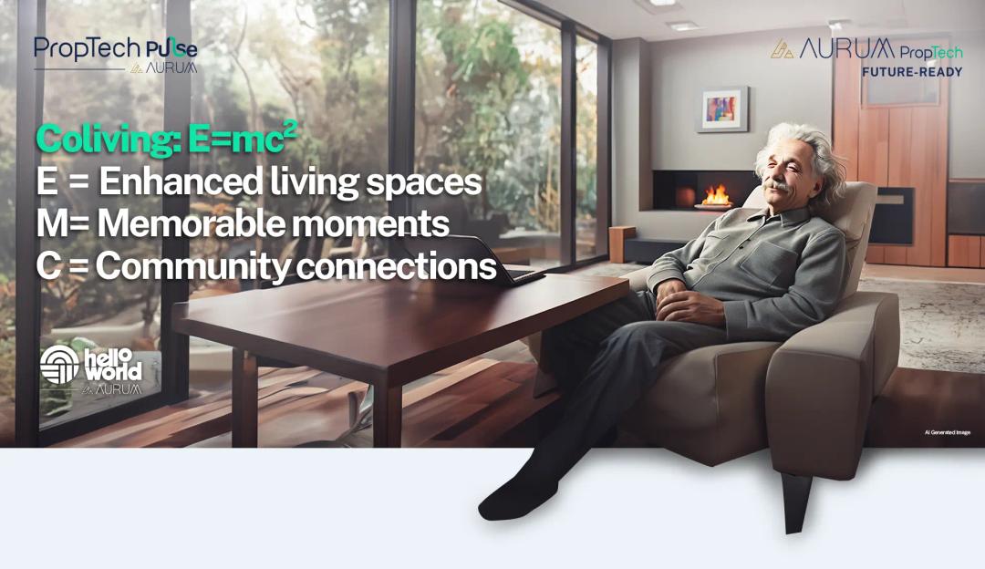
A letter from Albert Einstein in 2024 to young Albert
Dear Young Albert, I hope this letter finds you well, filled with the same curiosity and wonder that has always driven you. As I reflect on the world today, I can't help but think about how much has changed since my time, especially in the realm of communal living which might seem quite intriguing
PropTech Pulse Editorial
15th March 2024

Technology and Innovation
Evolution of Customer Relationship Management tools
‘‘The purpose of a business is to create and keep a customer’’, Peter Drucker, a famous writer, and management consultant said prolifically. The realm of CRM scope covers customer discovery, interactions, service, care, retention, and loyalty. The term Customer Relationship Management (CRM) was c
PropTech Pulse Editorial
12th April 2024
Investment Opportunities
What’s Driving Rental and Coliving Demand in India in 2025?
The size of rental market in India is estimated to be USD 13.9 Bn by 2025. Around 50% of this is attributed to the Gen-Z population, and 30% to the millennial population. Demographic profile of India’s work force, changing behaviour of gen-Z and millennials, rapid urbanisation, digital behaviour and
PropTech Pulse Editorial
7th March 2024
Digital Transformation
A letter from Albert Einstein in 2024 to young Albert
Dear Young Albert, I hope this letter finds you well, filled with the same curiosity and wonder that has always driven you. As I reflect on the world today, I can't help but think about how much has changed since my time, especially in the realm of communal living which might seem quite intriguing
PropTech Pulse Editorial
15th March 2024

Ask Pulse Ai anything about real estate

Unlock the Latest in Real Estate
News, Infographics, Blogs & More! Delivered to your inbox.